Nature And Traces Of War On Hahajima: Historical And Sightseeing Spots

Hahajima is an island located nearly 1000 km away from the center of Tokyo in the Pacific Ocean. It is part of the Ogasawara Archipelago and part of UNESCO's Nature Heritage sites for its unique ecosystem and biodiversity.
Nearly 1000 km south of Tokyo, you will find a group of islands known as the Ogasawara Archipelago. After taking a ferry ride for 24 hours from Takeshiba, Tokyo, you will reach the island of Chichijima. From there, if you go 50 km further south by boat, you will reach an inhabited island called Hahajima.
Hahajima Island developed as a whaling island and was also used as a war site during World War II. After the war came to an end, nearly 500 people on the island worked to protect and restore the natural sites of the island and managed to make the island a recognized Natural Heritage site in 2011.
In this article, we would like to introduce some of the natural highlights of the island along with its history of whaling and war.
Read also:
24 Hours By Boat: Reaching The Ogasawara Islands From Tokyo
Exploring The Natural Wonders Of Mount Chibusa On Hahajima Island
1. History of Whaling in the North
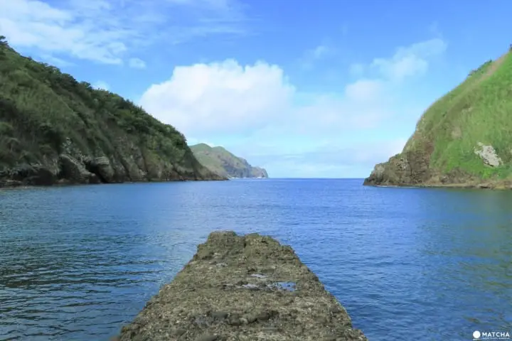
At Kita Port, you can see the remnants of the history of whaling on the island. Formally, there was a village of whalers here, but now, only the decaying wharf remains.
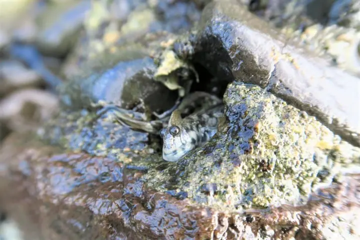
From the wharf, you can see the pristine waters and the fish that swim about in them from above. Along the bay which is covered in small rocks, you will spot some crabs and other creatures such as the leaping blenny making the shore their home.
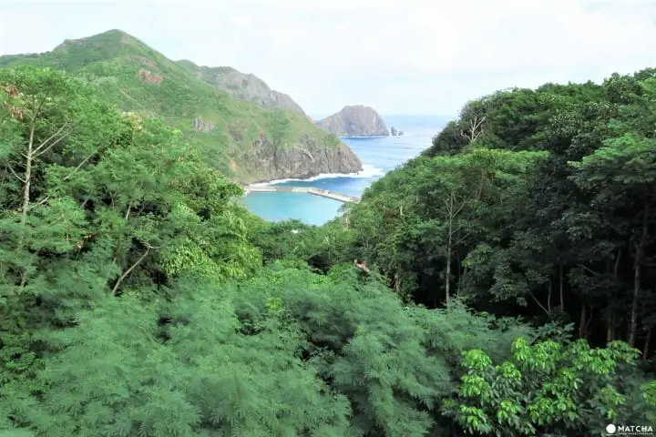
The Higashi Port that is located right by the Kita Port was used as a whaling site until 1985.
2. The Scars and Remnants of War Within the Forest
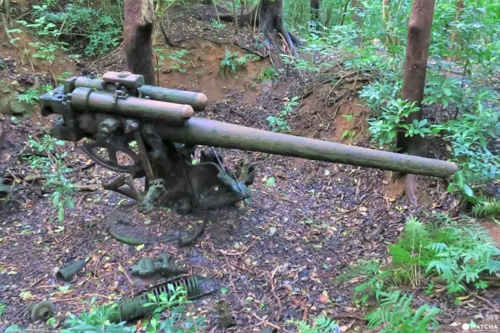
You can find the Higashi Port cannon under the searchlight that was formally used by the Japanese army. After walking about five minutes into the forest from the streets, you will find the long cannon left behind after the war still pointing to the sea.
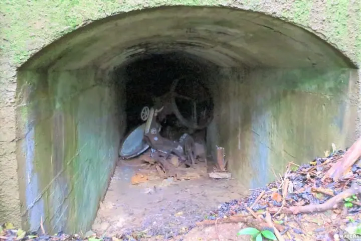
Right by the cannon, you will find the base of the massive searchlight that was set in the trench by the former Japanese army. Formally, there was a rail set to move down this tunnel, but after such a long period of time, it deteriorated and only the remains of it can be seen.
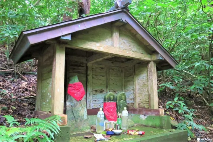
Now at the former base you will find also a small shrine with a Jizo statue. The Jizo on the right has six fingers, which gave it its name: the Ropponyubi Jizo (six-fingered Jizo).
3. Panoramic Scenery of the Sea, Sky, and Untouched Nature

The Miyuki no Hama bay got its name after the Showa Emperor visited the shore and the Ogasawara islands in 1927 (*1). From the observation deck, you can see whales spouting or show their faces from the surface of the water at times.
*1: Spots where the Emperor visits are referred to as Miyuki.
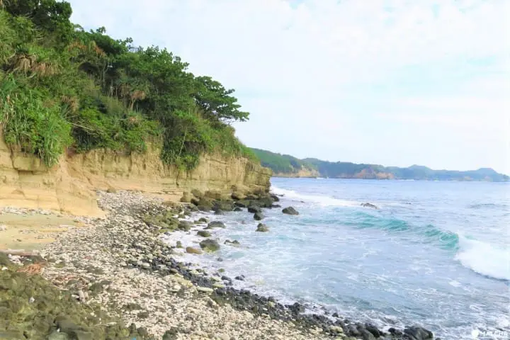
The shore where the Emperor collected specimens are now a specially protected area and there is an ocean park with a wonderful view here.
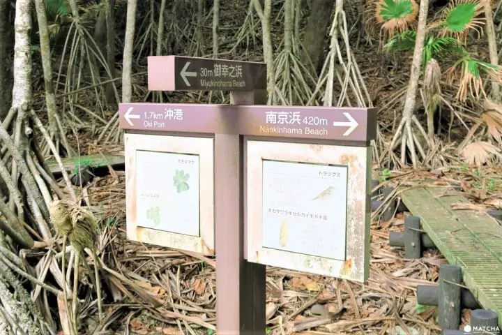
Beside the Miyuki no Hama is a beach called Nankinhama and both areas are connected by a path.
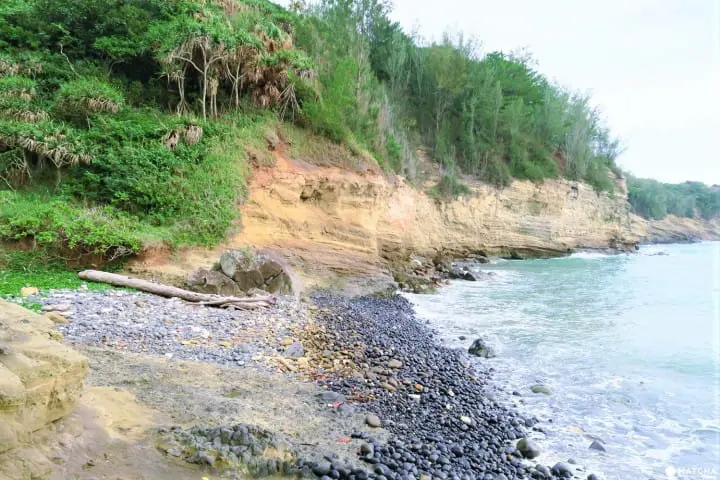
Within the waters of the Nankinhama is a group of coral and, from time to time, you may be able to spot a small whitetip reef shark taking a nap. The whitetip reef shark is a calm shark and would not attack people necessarily, but it is a good idea to leave them alone.
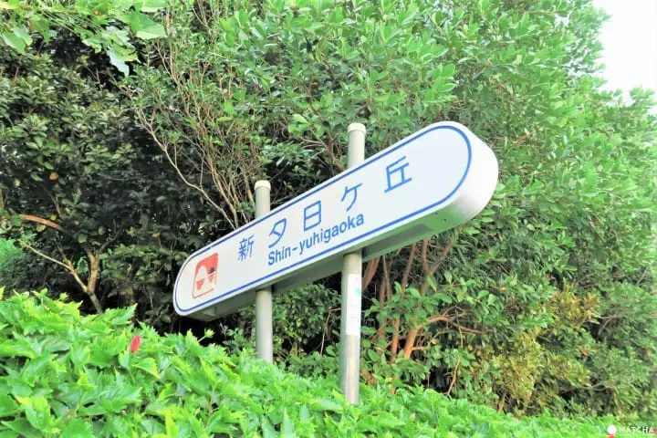
The spot to see a gorgeous sunset amid the forest is from the Shin-Yuhigaoka hill, which is located in the central area of the island.
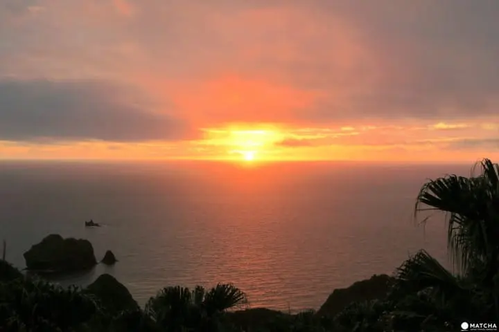
If it is a clear day, you will be able to witness the bright red sun setting into the Pacific Ocean.
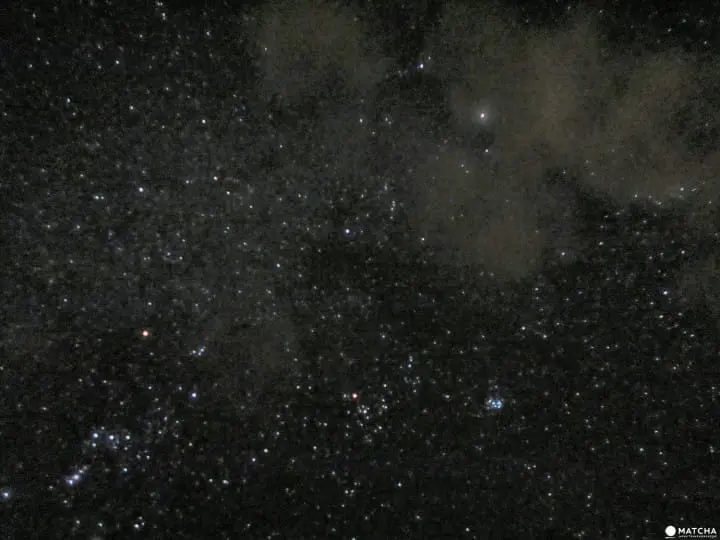
On the southern part of the island, you will find a flat area called the Former Heliport; this area is special in that there is absolutely nothing blocking the view of the sky. The illuminated sky filled with glittering stars will spread before your eyes, creating an all-natural planetarium right overhead.
4. Trekking Course for Great Views
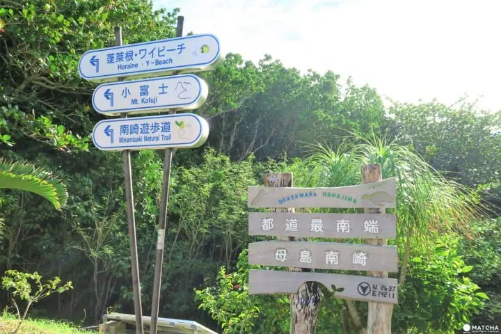
After going south of the island, you will find a point where the road reaches a dead end. This is considered to be the southernmost tip of Tokyo.
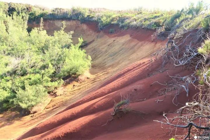
From here, there is a path to trek through the vast natural area to see unique plants and animals.
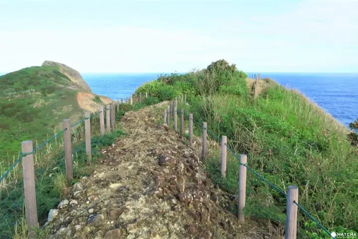
This mountain in the southern area of Hahajima Island is called Mt. Kofuji. It takes about 40 minutes to reach the summit and requires you to go up steep stairs and ladders. If you plan on going on a hike, it is a good idea to wear sturdy shoes suitable for hiking.
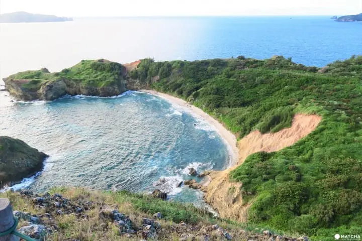
Upon reaching the top, you will see an area called Minamizaki where you can see the coral garden within the clear blue waters from above.
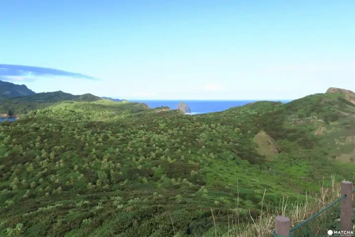
The uninhabited islands known as Anejima and Imotojima can be seen in the distance from here. During the spring and summer, you will be able to see some brown booby birds soaring between the two islands.

After returning from Mt. Kofuji, continue down the path until you see a sign pointing to Minamizaki. Turn here and continue down the designated path.
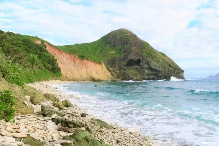
You will then reach the coral garden you saw from the top of Mt. Kofuji. This is also a great snorkeling point where flat, table-like corals grow in large groups. However, the rapids are fast by the shores of Minamizaki, so it is best not to leave the bay.
Precautions When Going Around Hahajima Island
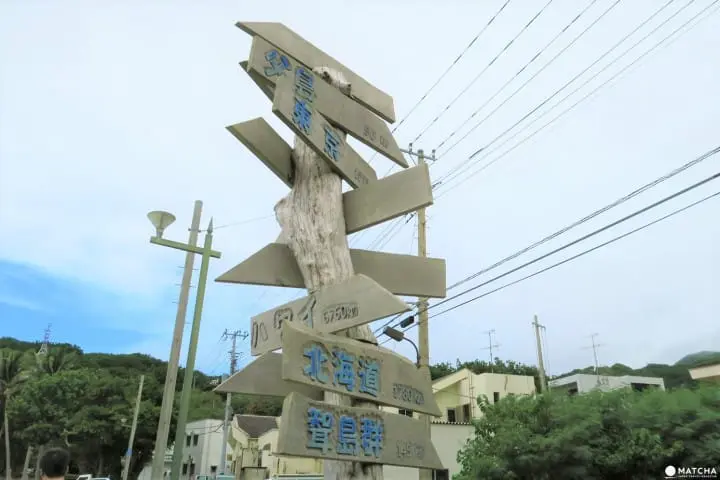
Public transportation is not available on Hahajima Island. To go to the spots mentioned in this article, it is best to rent a car or motorcycle. For those who do not have a driver's license, you can use the transfers provided by your accommodation or go in a shared taxi. For reservations, you can call the Hahajima Tourism Association at +81-04998-3-2300 (Japanese).
In Conclusion
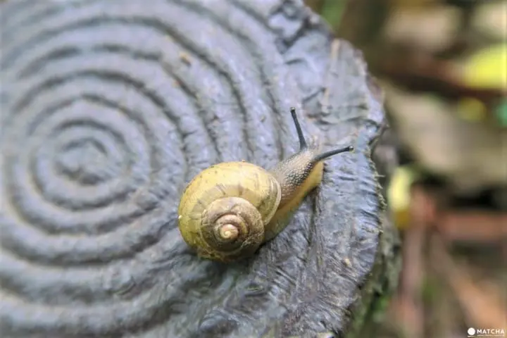
Did any of the locations pique your interest in Hahajima Island? This island has a rich history of war and whaling along with nature that can be enjoyed from the sea, mountains and even the skies. Why not enjoy the picture perfect scenery the next time you visit Hahajima Island?
新潟生まれ。事業会社でのマーケティングを経験後、2011年からシンガポールへ移住し、出版社や制作会社で編集に従事。2015年に日本へ帰国しMATCHAのライターに。国内外を旅行する中で見つけた新しい発見を、多くの人とシェアしていきたいです。











![[Kagoshima] Enjoy Minamisatsuma City to the Fullest! A Guide to the Scenic Beauty and Culture of Five Areas](https://resources.matcha-jp.com/resize/720x2000/2026/02/15-258755.webp)
![[Yufuin]Yufuin in 100 Minutes: Quick Access Guide](https://resources.matcha-jp.com/resize/720x2000/2026/02/15-258738.webp)
![[Shinjuku Nishiguchi HALC] About the d Point Campaign](https://resources.matcha-jp.com/resize/720x2000/2026/02/14-258714.webp)
